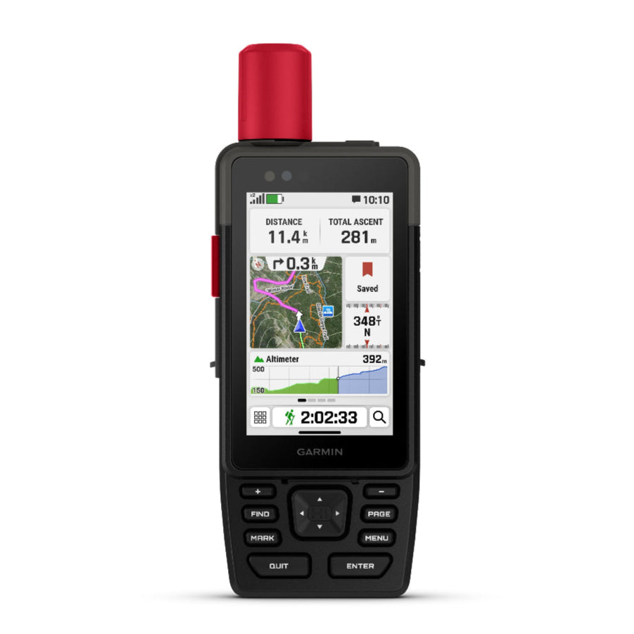
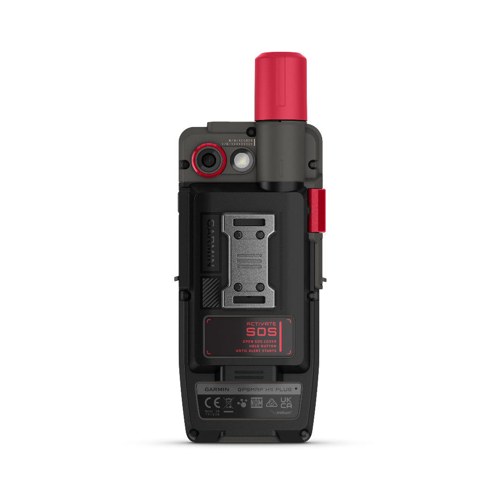
NEW Garmin GPSMAP H1i Plus - Premium Handheld GPS with inReach® Plus Satellite Technology
WHEN ADVENTURE CALLS, RESPOND
This rugged handheld GPS has a modern design, preloaded maps and built-in inReach® Plus technology1 to stay in touch beyond mobile network coverage. It’s time to hit the trails.
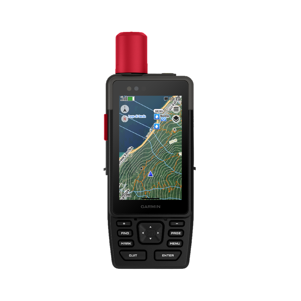
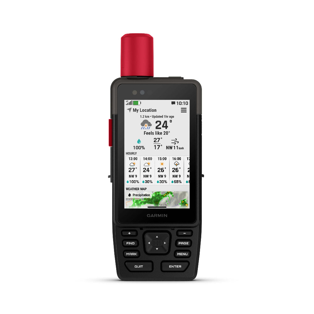
HYBRID DESIGN OFFERS A 3.5″ COLOUR TOUCHSCREEN AND PHYSICAL BUTTONS
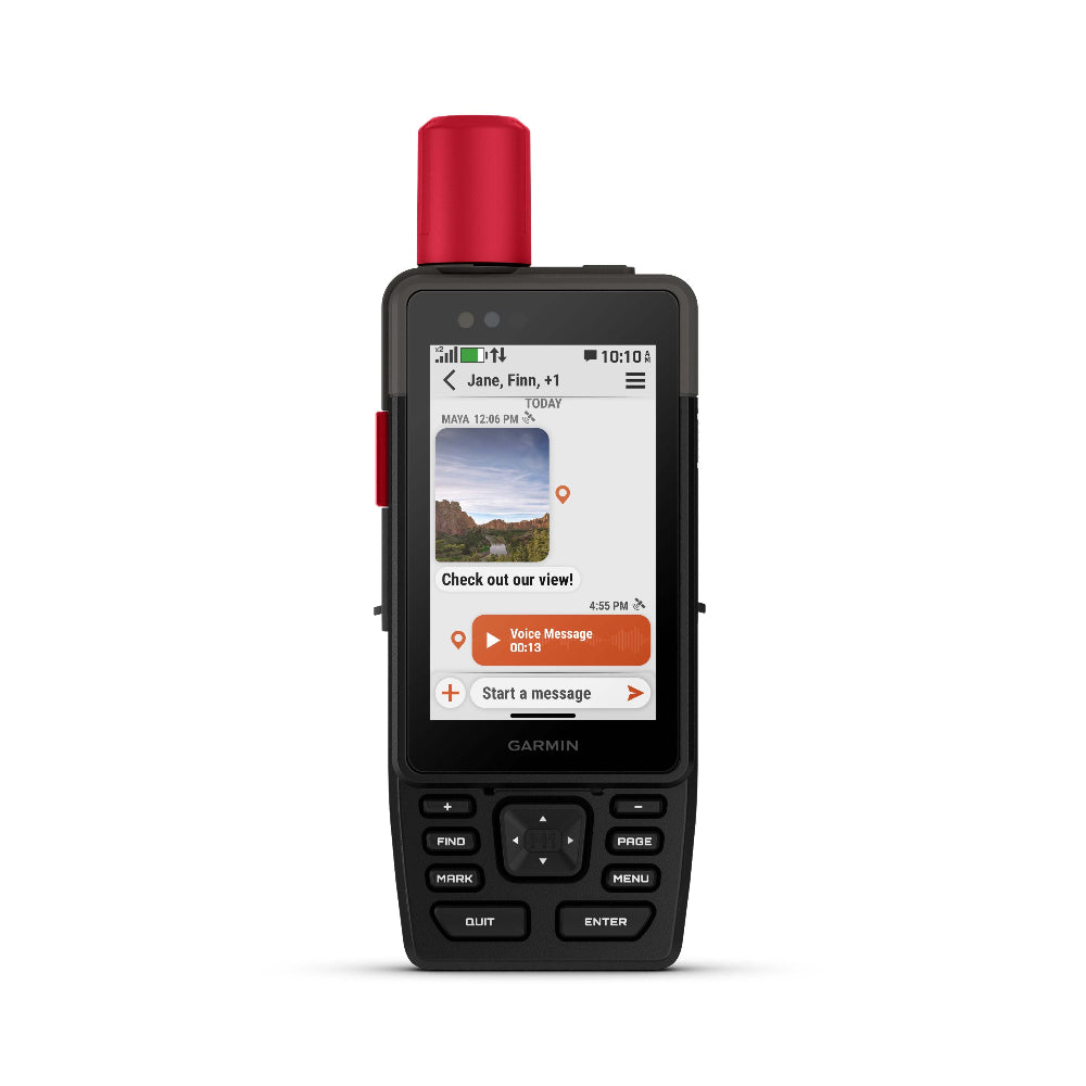
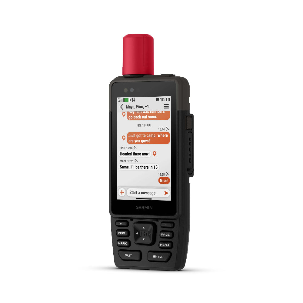
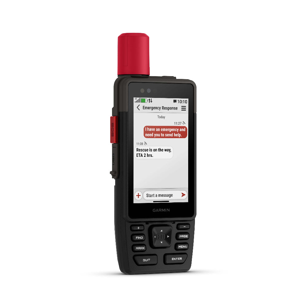
EXCHANGE PHOTOS, VOICE MESSAGES AND TEXT MESSAGES WITH AN INREACH SUBSCRIPTION1
SEND AN SOS MESSAGE TO THE GARMIN RESPONSE℠ CENTRE FOR HELP IN AN EMERGENCY (SUBSCRIPTION REQUIRED)
LONG BATTERY LIFE OFFERS UP TO 145 HOURS IN GPS MODE
MULTI-BAND GPS AND MULTI-GNSS SUPPORT HELPS PINPOINT YOUR PRECISE LOCATION
1Satellite subscription required. Some jurisdictions regulate or prohibit the use of satellite communication devices. It is your responsibility to know and follow all applicable laws in the jurisdictions where the device is intended to be used.
2Requires an active cellular connection and use of the Garmin Messenger app on your paired smartphone
We have the following accessories available for your GPSMap H series
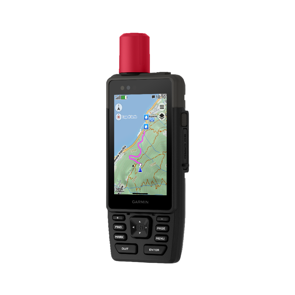
Touchscreen Display The bright, sunlight-readable 3.5″ colour touchscreen has chemically strengthened glass to resist scratches. It is glove-friendly, easy to see and easy to use. Tap, zoom and swipe on the maps to follow your route.
PHYSICAL BUTTONS The rugged hybrid design also features intuitive push buttons for more versatility when in weather and while wearing gloves. The quick-action button lets users customise functions to their specific needs.
PHOTOS AND VOICE/TEXT MESSAGING With an active inReach subscription1, send group text messages up to 1,600 characters. You can also exchange photos and voice messages when outside of mobile network coverage.
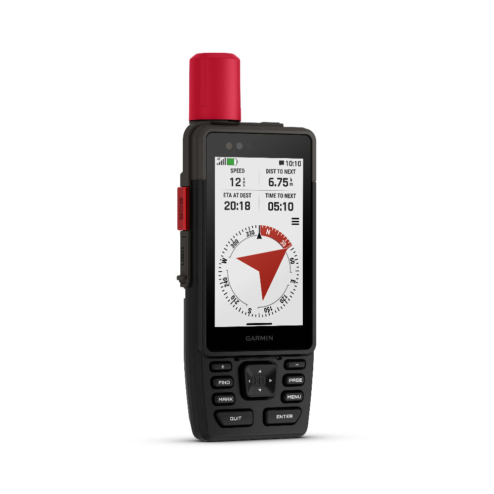
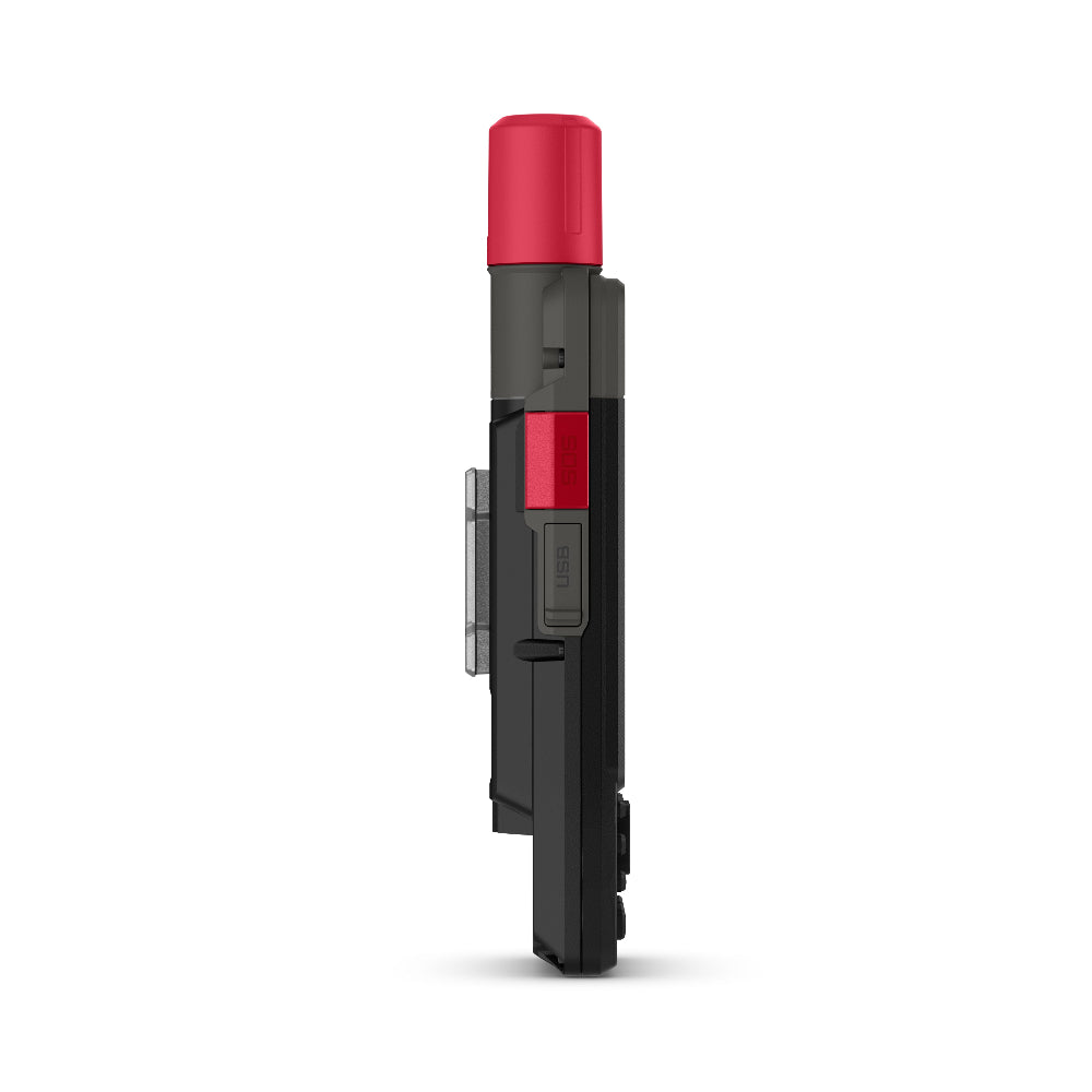
SOS ALERTS Trigger an interactive SOS message anytime to the 24/7-staffed Garmin Response international coordination centre for help in an emergency. This requires an active inReach subscription1.
Advanced Navigation Navigate with preloaded TopoActive maps for the Europe, Middle East and Africa — and easy-to-access global maps. See terrain contours, elevations, geographical points and more.
SATELLITE IMAGERY Download high-resolution photorealistic maps directly to your device via Wi-Fi® technology. Find trails, pick stand locations and parking, create waypoints and more.
BUILT FOR ADVENTURE KNOW THE UNKNOWN
OUTDOOR MAPS+ Purchase an Outdoor Maps+ plan for access to a variety of premium mapping content across the globe. Plans are updated regularly and sent to your device over Wi-Fi.
LOCATION ACCURACY Get multi-band GPS and multi-GNSS support for superior positional accuracy.
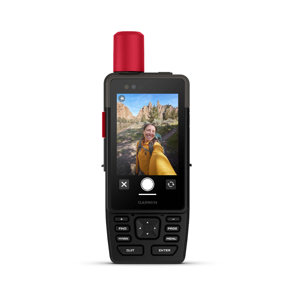
BUILT-IN CAMERAS The integrated front and back cameras allow you to snap selfies and photos of your trip. With an active inReach subscription1, share your photos in real time even without a mobile network.
VOICE CONTROL Utilise voice commands to conveniently handle many tasks, including check-ins, start tracking, take a photo and more. Available in Danish, Dutch, English, French, German, Italian, Spanish and Swedish.
LIVETRACK™ SHARING When you venture off-grid, friends can follow along via satellite technology1 to view your progress, ping your device to see your GPS location and exchange messages. For trips within mobile coverage, loved ones can follow your location in real time and see data such as distance, time and elevation.
GARMIN WEATHER Get real-time forecast information so you’re aware of the changing conditions. This feature requires an active Wi-Fi connection or an active cellular connection and use of the Garmin Messenger™ app on your paired smartphone. When you travel beyond mobile coverage, access weather updates via satellite1 for your current location, route destination and more.
PLAN YOUR TRIPS Enjoy seamless trip planning with the ability to easily locate geographic points, share your route and more. This requires an active Wi-Fi connection or cellular connection with use of the Garmin Explore™ app on your compatible smartphone.
EVOLVED DESIGN
HELPFUL TOOLS Use the built-in bright LED flashlight torch as a beacon or to light your way when the path goes dark. A loud built-in siren can help draw attention if you are in need.
BATTERY LIFE Long-lasting battery life allows for up to 145 hours in GPS mode.
RUGGED DESIGN Built to meet MIL-STD 810 for thermal, shock, water (IPX67) and vibration to withstand weather and extreme temperatures.
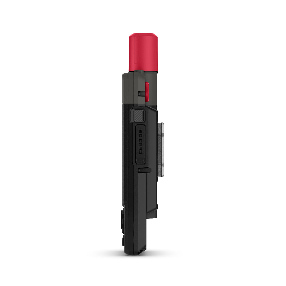
ON THE GO This device has an integrated Spine Mount 2 and includes a removable loop with carabiner clip for more versatility on your adventure. It’s also compatible with additional Spine Mount 2 accessories, sold separately.
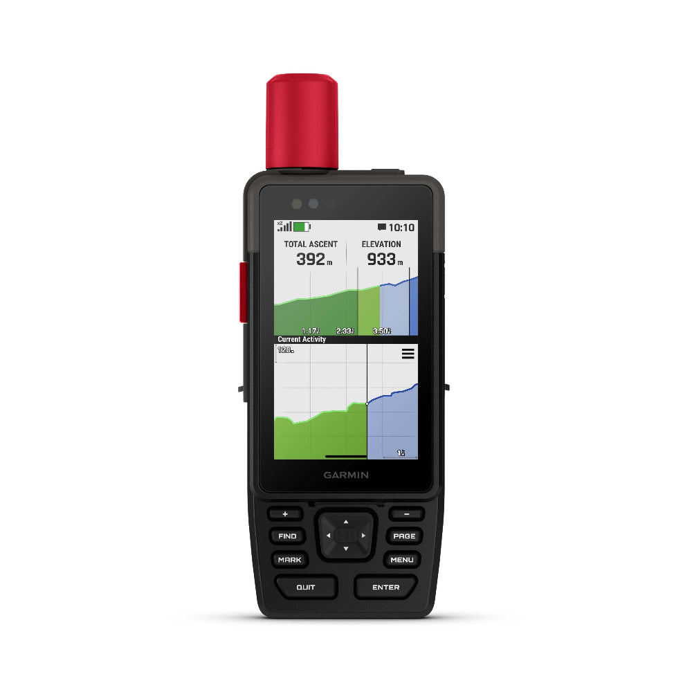
ABC SENSORS Get a built-in altimeter for elevation data, a barometer to monitor weather and a 3-axis electronic compass to provide direction.
1Satellite subscription required. Some jurisdictions regulate or prohibit the use of satellite communication devices. It is your responsibility to know and follow all applicable laws in the jurisdictions where the device is intended to be used.
2Requires an active cellular connection and use of the Garmin Messenger app on your paired smartphone
Wi-Fi is a registered trademark of the Wi-Fi Alliance.
Engineering enhancements are ongoing and may not be reflected in the pictures, videos and specifications.
4.7 x 7.7 cm (1.9″W x 3″H), 8.9 cm (3.5″ diagonal)
Display Resolution
282 x 470 pixels
Battery type
Rechargeable, internal lithium-ion
Battery life
Up to 48 hours with inReach enabled, 10 minute tracking, Performance messaging mode Up to 145 hours in GPS Mode Up to 425 hours in Expedition mode with inReach enabled Up to 840 hours in Expedition mode
Memory/history
64 GB (user space varies based on included mapping)
Interface
USB-C
Maps & memory
Preloaded maps
Yes
Ability to add maps
Yes
Basemap
Yes
Automatic routing (turn by turn routing on roads) for outdoor activities
Yes
Map segments
15,000
Satellite Imagery
Yes (direct to device)
Includes detailed hydrographic features (coastlines, lake/river shorelines, wetlands and perennial and seasonal streams)
Yes
Includes searchable points of interests (parks, campgrounds, scenic lookouts and picnic sites)
Yes
Displays national, state and local parks, forests, and wilderness areas
Yes
Storage and Power Capacity
Yes (1 TB max microSD card)
Waypoints
Yes
Courses
unlimited
Activities
200
Activity profiles
Yes
GPX imports
Yes
Rinex logging
Yes
Sensors
GPS
Yes
Galileo
Yes
QZSS
Yes
BeiDou
Yes
IRNSS
Yes
Barometric altimeter
Yes
Compass
Yes (tilt-compensated 3-axis)
High-sensitivity receiver
Yes
GPS compass (while moving)
Yes
Multi-band frequency
Yes
Daily smart features
Connect IQ™ (downloadable watch faces, data fields and apps)
Send and receive text messages to other inReach device
Yes
Send and receive group messages
Yes
Send and receive photos
Yes
Send and receive voice messages
Yes
Send and receive 1,600 character messages
Yes
Exchange locations with other inReach device
Yes
MapShare compatible with tracking
Yes
Virtual keyboard for custom messaging
Yes
Send waypoints to MapShare during trip
Yes
Send route selection to MapShare during trip
Yes
Outdoor applications
Compatible with Garmin Explore™ app
Yes
Garmin Explore website compatible
Yes
Smart switching between Wi-Fi, Mobile and Satellite with Garmin Messenger app
Yes
Dog tracking
Yes (when paired to compatible dog track system)
Connections
Connections Wireless Connectivity
Yes (Wi-Fi®, BLUETOOTH®, ANT+®)
Security Information
Security updates until at least (YYYY-MM-DD)
2027-09-03
In the Box
- GPSMAP H1i Plus - Type A to Type C USB cable - Loop Carabiner - Garmin Documentation
FAQ's
1. What are each of the map options available with the Garmin GPSMAP H1i Plus?
This unit has Topoactive mapping on the internal memory and so this option comes as standard with any option you purchase. (Eg, if you purchase TOPO Great Britain Pro 1:50k, you will also get Topoactive mapping on the internal memory)
– Garmin GPSMAP H1i Plus With Western Europe TOPO ACTIVE Mapping
Garmin TOPO ACTIVE mapping is a proper digital map, as you zoom in you get more information and as you zoom out you get less. BUT, it is not an Ordnance Survey map, therefore it does not differentiate between Bridleways and Footpaths, it just marks them as paths.
It covers 47 European countries, compiled using the community-generated OpenStreetMap (OSM) database. Coverage for: Albania, Andorra, Austria, Belarus, Belgium, Bosnia-Herzegovina, Bulgaria, Croatia, Cyprus, Czech Republic, Denmark, Estonia, Finland, France, Germany, Greece, Hungary, Iceland, Ireland, Italy, Kosovo, Latvia, Liechtenstein, Lithuania, Luxembourg, Macedonia, Malta, Moldova, Monaco, Montenegro, Netherlands, Norway, Poland, Portugal, Romania, Russia (Kaliningrad only), San Marino, Serbia, Slovakia, Slovenia, Spain, Sweden, Switzerland, Turkey, Ukraine, United Kingdom and the Vatican City.
– Garmin GPSMAP H1i Plus with TOPO Great Britain Pro 1:50k (2024 v3 edition - most recent)
This is full GB at 1:50k mapping on a map card, which sits in the back of the GPS unit.
The TOPO PRO means that it is the latest map card from Garmin, giving you off road turn by turn routing within the National Parks, this means you can select a location many miles ahead and the GPS will route you via the footpaths to get to that location (like a car sat nav does).
Outside National Parks the GPS will navigate you in a straight line from waypoint to waypoint.
Don’t worry, here at the GPS Training we set the unit up for you so you can easily use these features and we even include a quick start guide so you can quickly get up and running with your GPS unit.
– Garmin GPSMAP H1i Plus with TOPO Great Britain PRO 1:25k, 1:50k and 1:250k Ordnance Survey Map Card - NEW very latest 2024 v3 edition
This is full GB at 1:50k, 1:50k and 1:250k mapping on a map card, which sits in the back of the GPS unit. As you zoom in and out you pass through each of these three map sets.
The TOPO PRO means that it is the latest map card from Garmin, giving you off-road turn by turn routing within the National Parks, this means you can select a location many miles ahead and the GPS will route you via the footpaths to get to that location (like a car sat nav does).
Outside National Parks, the GPS will navigate you in a straight line from waypoint to waypoint.
2. How much are the service plans for Garmin inReach to work on the GPSMAP67i?
3. When do I choose and activate my inReach service plan?
You do this online with Garmin as you register and set up your inReach Satellite Communicator.
3. Can you put your Garmin inReach account on hold or stop it for a period?
There are a couple of options to do this –
- inReach Enabled (Pay as you go type service)
This then costs - £7.99 per month and you get –
Unlimited SOS and messaging with Garmin Response
£0.10 per check-in message or reaction
£0.10 per tracking point
£0.50 per text message or weather forecast
- Suspend your plan – If you do this as long as you reactivate your service within 12 months there is no re-actication fee to pay, if you do not recativate within 12 months you then have to pay for the Activation fee again of £39.99.
4. Does the Garmin inReach work using mobile phone signal?
No, and communication (text messages and e-mail) is done using the global Iridium satellite coverage.
5. Does the inReach work in every country?
inReach devices operate on the Iridium satellite network, which provides 100% global coverage. However, some countries require prior permission for the authorized use of a satellite communication device and some countries have banned the use of satellite communications devices. In addition, United States embargoes prohibit providing satellite communications products and services in some countries.
The list below provides our best understanding of countries that may regulate or prohibit the use of a satellite communicator or are on a list of U.S. embargoed countries:
Taliban controlled Afghanistan
Crimea region of the Ukraine
Cuba
Georgia (SMS)
India
Iran
North Korea
Myanmar
Sudan
Syria
Thailand
Vietnam
China
Russia
*Regulations and the list above may change without notice.It is important to review the restrictions for satellite communicators for any country you may be travelling to in order to avoid issues for using or carrying an inReach satellite communication device. Your travel destination may have recently changed its laws or policies for various reasons. The US State Department has alist of foreign embassies and consulatesthat you can contact for more information.
NOTE:SMS messages to Telecom Personal Argentina or Georgia (country) subscribers cannot be delivered as there is currently no route available to this carrier through our international SMS delivery partner. Ghana does not currently have SMS messaging. Currently, there is also an issue with inReach messages being received by SMS phone numbers in Mexico and Romania. For more details, see -inReach Messages Not Received by SMS Phone Numbers in MexicoandinReach Messages Not Received by SMS Phone Numbers in Romania.
6. What accessories do you have available for the GPSMap H series ?
We have the following accessories available for your GPSMap H series
I bought this to replace a Montana 700 on the deck of my sea-kayak. The USB socket was dying, and it’s too heavy really for where i was using it. No physical buttons, just a touch screen, weren't really workable on the sea all the time either. Before the Montana the GPSMAP 66 was what I used at sea. This was the best unit at the time and worked really well. Small screen, light weight, physical buttons, AA batteries that lasted over 3 days. All good really. Soon to go to eBay!
The H1 has big shoes to fill. It does look very capable. The buttons work in a similar way to the 66, so it’s very familiar. The larger screen helps for mapping. But no corner fields as I’d got used to on the Montana. With the touch screen off it’s easy to control and for me the interface needs very little tweaking. Mapping and compass are easy to get to out of the box as it is.
Switching the Compass to CDI and turning routing off makes it work on the sea exactly the same as the 66 and the Montana 👍🏻. I can’t see all that much of the map when I have 4 data fields on display. But I can live with that. The Action button on the side cant be configured to toggle the touch screen, with is a big -ve.
Activity tracks and courses seem to be readily accessible nicely. But saved activities building up over a few days cant be moved into a collection on the device by the H1. I have to do this in Garmin Explorer, which isn’t Garmin’s best ever software tool. I try and stay away from that as much as possible!!
Having different profiles available is good too. I have only 3 : Kayaking, Walking and Driving. Though I wont use it much while walking. I prefer the simplicity of my Fenix for following courses and recording walks. The talky Toaster Map is very good too., much better than the Garmin Topo mapping. Though for real detail I use either a paper map or a selection of mapping on the phone.
The InReach capability I look forward to playing with. I recently bought an InReach Mini 3 Plus which I used on my last paddling trip. This ‘just worked’ sending comms over satellite when we had no mobile signal in the Far Northwest of Scotland. The subscription is now suspended so it really just a replacement for my soon to be eBayed PLB. I wondered if I should get inReach on my next GPS. I decided if I did I could simplify further my kit list. I can easily use the SOS button if I want to while on the sea, so all very +ve I think.
One ‘quirk’ is the spine mount. It can be threaded top and bottom with 12.7mm thin webbing tape, if you can find any! It’s an imperial size, not really sold anywhere I can find. Garmin won’t sell me a few m or more of their tiny tape loop things without a carabiner, a bit -ve in my mind.
I can work around it by threading the slots with Dyneema Paracord so I can fix it to my spray deck well enough I think and detach it at the end of the day to charge, etc.
Overall I am quite pleased with the GPSMAP Hi1 Plus. It will do a great job for what I want. I look forward to seeing exactly how long the battery lasts over a few days use 🙂.
PS … it did get stuck in the endless reboot cycle once 😮. A quick search of youTube revealed a fix involving a long press of the power button to switch it off, then hold down the page and enter buttons at the same time while pressing the power button once. It churned away and fixed itself 👍🏻.
I upgraded to this from my previous Garmin MAP67i.
The H1 is very good, although a little heavier. It’s a shame Garmin have chosen to remove the nice bold/ wide magenta line on courses that I plot. The thinner course line with the arrows is fine but not great in poor conditions.
It only now seems to be available using tracback.
For some reason the satellite is still much slower than using the explorer app on the phone, which is problematic in storms (having recently returned from a Norwegian expedition).
Irritatingly the screen often zoomed out of the course resulting in difficulty reverting to it again.
Garmin still have a lot of work to do and I still find it clunky despite the touch screen improvements and convoluted and laborious processes involved to find things. Good to see they have removed the ludicrous routes & tracks thing and can just focus on a created course.
But I really do hope Garmin reintroduce the previous wide magenta line function on the next software update.
I go to some of the remotest places on the planet so this would be appreciated.