


Great advice over the phone and super fast delivery. Also purchased all the extras so was able to get out and about as soon as it arrived. Fantastic service.
Outdoor GPS Shop
Couldn't load pickup availability
Never knowingly beaten on price – Find out how it works
WHEN ADVENTURE CALLS, RESPOND
This rugged handheld GPS has a modern design, preloaded maps and incredible battery life. It’s time to hit the trails.

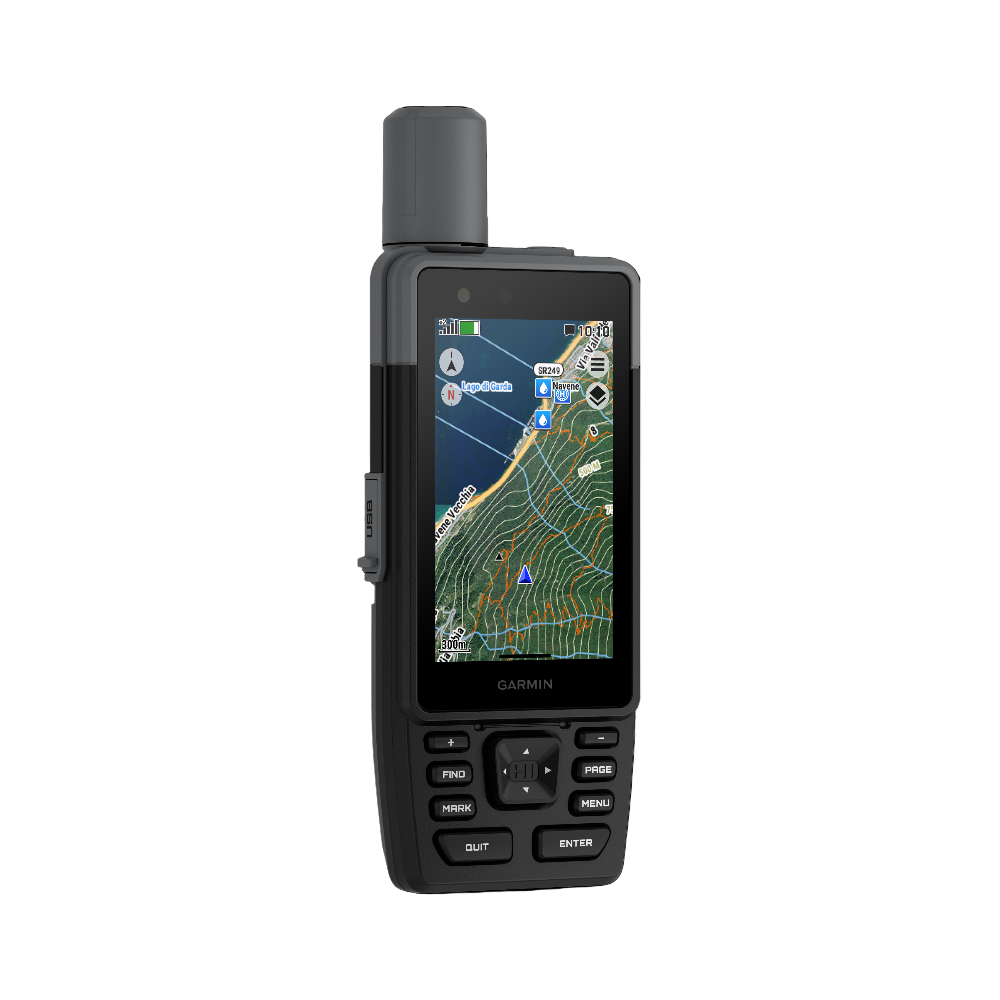
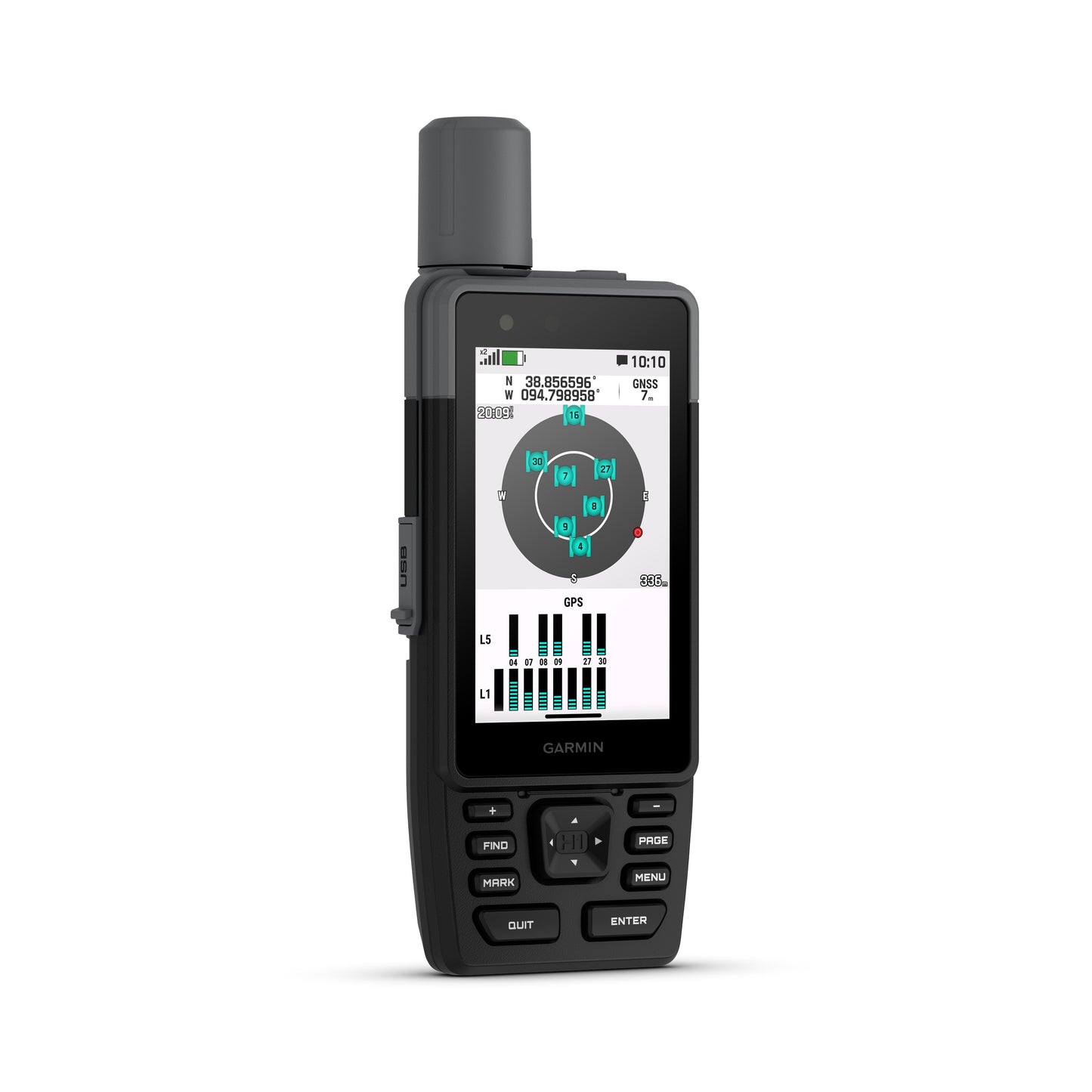
HYBRID DESIGN OFFERS A 3.5″ COLOUR TOUCHSCREEN AND PHYSICAL BUTTONS

PRELOADED TOPOACTIVE MAPS, HIGH-RESOLUTION SATELLITE IMAGERY AND OPTIONAL OUTDOOR MAPS+ CONTENT

LONG BATTERY LIFE OFFERS UP TO 145 HOURS IN GPS MODE

MULTI-BAND GPS AND MULTI-GNSS SUPPORT HELPS PINPOINT YOUR PRECISE LOCATION

MEETS MIL-STD 810 AND IP67 WATER RATING TO WITHSTAND WATER AND EXTREME TEMPERATURES

USE WITH THE GARMIN EXPLORE™ APP FOR TRIP PLANNING AND LOCATING GEOGRAPHIC POINTS
We have the following accessories available for your GPSMap H series
Backpack Tether
Bicycle Mount
Powered Mount
Powered Mount with suction cup
WHAT YOU'LL LOVE
Touchscreen Display
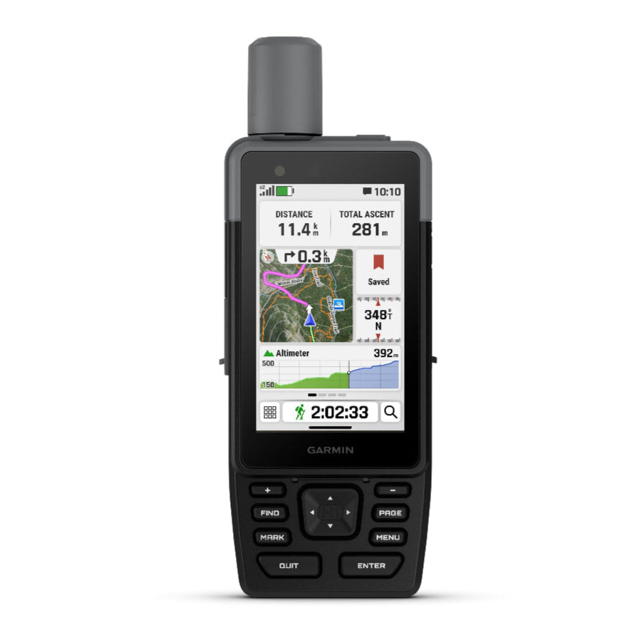
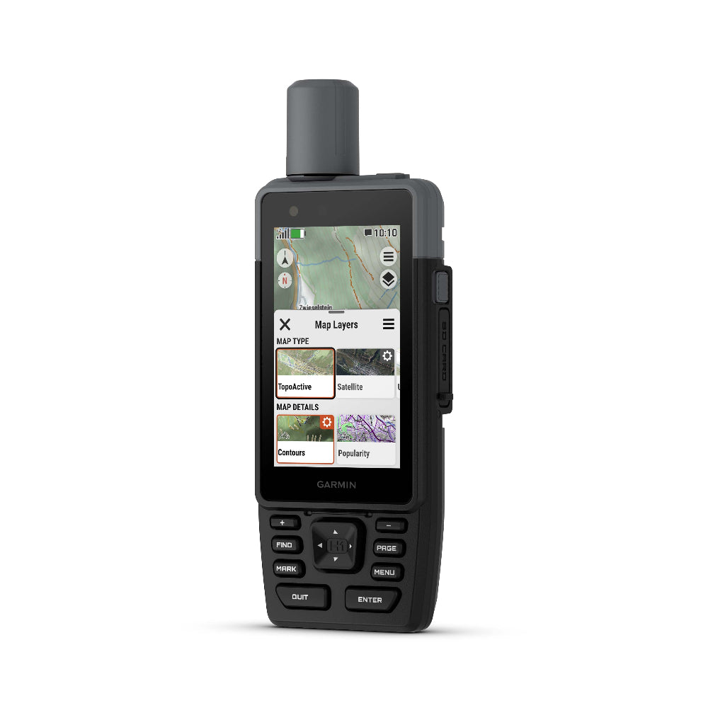
The bright, sunlight-readable 3.5″ colour touchscreen has chemically strengthened glass to resist scratches. It is glove-friendly, easy to see and easy to use. Tap, zoom and swipe on the maps to follow your route.
PHYSICAL BUTTONS
The rugged hybrid design also features intuitive push buttons for more versatility when operating in weather and while wearing gloves. The quick-action button lets users customise functions to their specific needs.
Advanced Navigation
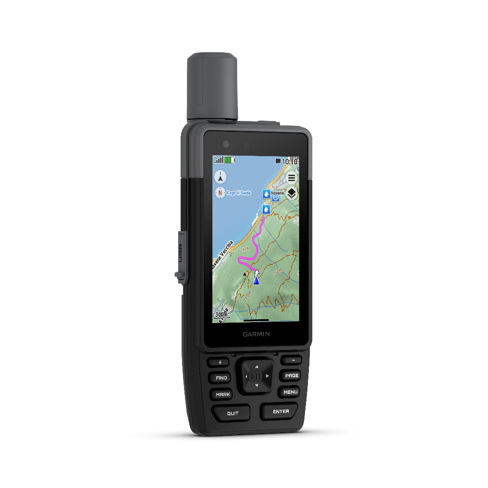
Navigate with preloaded TopoActive maps for the Europe, Middle East and Africa — and easy-to-access global maps. See terrain contours, elevations, geographical points and more.
SATELLITE IMAGERY
Download high-resolution photorealistic maps directly to your device via Wi-Fi® technology. Find trails, pick stand locations and parking, create waypoints and more.
OUTDOOR MAPS+
Purchase an Outdoor Maps+ plan for access to a variety of premium mapping content across the globe. The subscription is updated regularly and sent to your device over Wi-Fi.
LOCATION ACCURACY
Get multi-band GPS and multi-GNSS support for superior positional accuracy.
BUILT FOR ADVENTURE
EVOLVED DESIGN
HELPFUL TOOLS
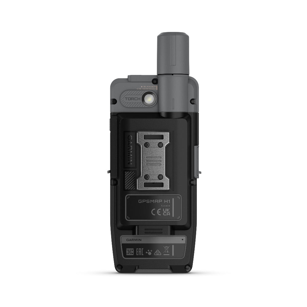
Use the built-in bright LED flashlight torch as a beacon or to light your way when the path goes dark. A loud built-in siren can help draw attention if you are in need.
BATTERY LIFE
Long-lasting battery life allows for up to 145 hours in GPS mode.
RUGGED DESIGN
This device is built to meet MIL-STD 810 standards for thermal, shock, water (IP67) and vibration to withstand weather and extreme temperatures.
ON THE GO
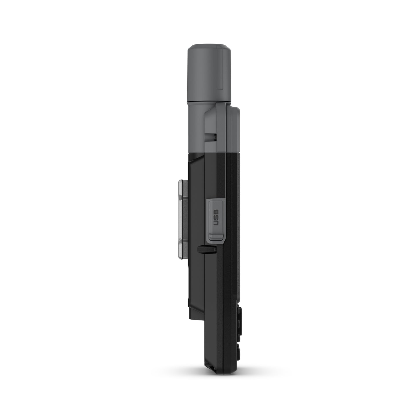
This device has an integrated Spine Mount 2 and includes a removable loop with carabiner clip for more versatility on your adventure. It’s also compatible with additional Spine Mount 2 accessories, sold separately.
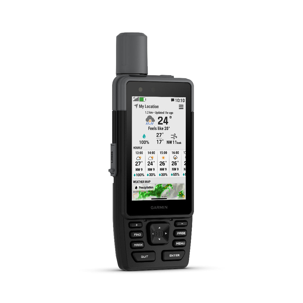
GARMIN WEATHER
Get real-time forecast information so you’re aware of the changing conditions. Requires an active Wi-Fi connection, or an active mobile network connection and use of the Garmin Explore app on your paired compatible smartphone.
ABC SENSORS
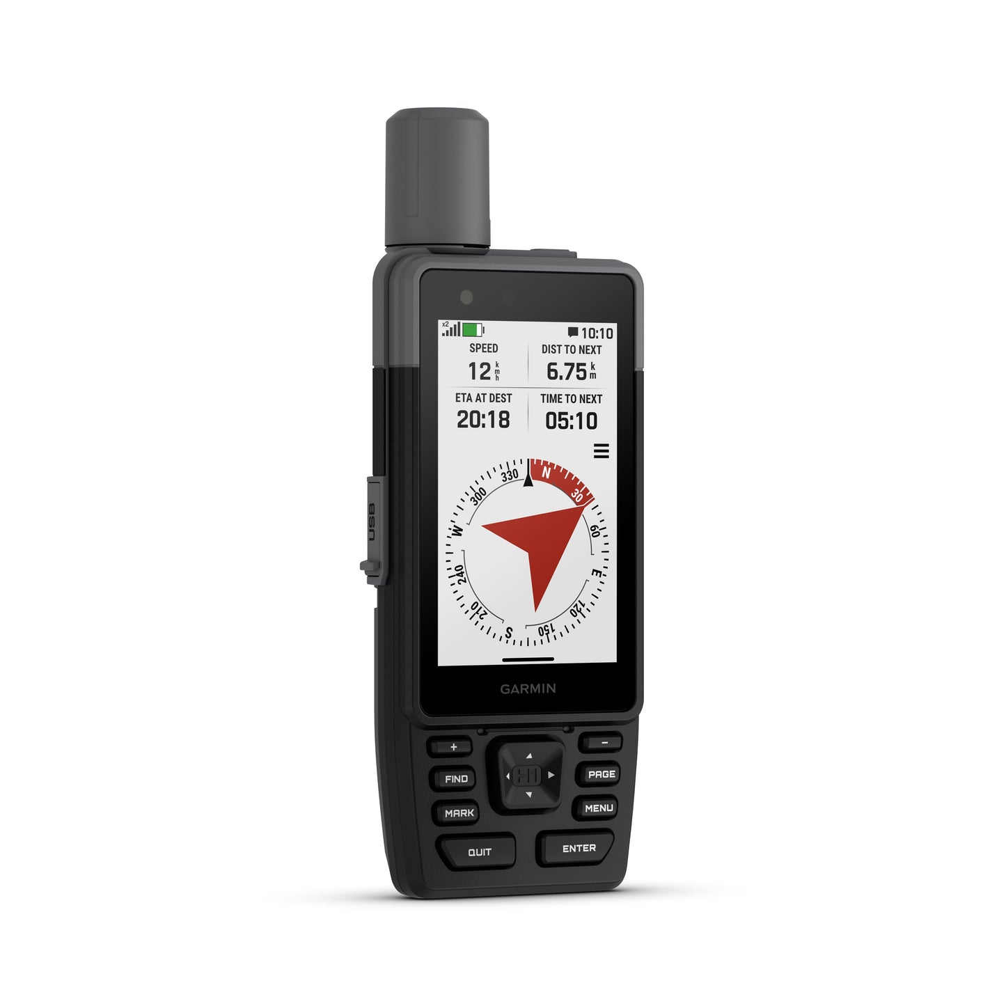
Get a built-in altimeter for elevation data, a barometer to monitor weather and a 3-axis electronic compass to provide direction.
LIVETRACK™ SHARING 2
Loved ones can follow your location in real time and see data such as distance, time and elevation. This feature requires an active mobile network connection and use of the Garmin Connect app on your paired smartphone.
PLAN YOUR TRIPS
Enjoy seamless trip planning with the ability to easily locate geographic points, share your route and more. This requires an active Wi-Fi connection or mobile network connection with use of the Garmin Explore app on your compatible smartphone.
General |
|
| Lens material | Chemically strengthened glass |
|---|---|
| Dimension | 6.7 cm x 17.9 cm x 3.3 cm (2.6″ x 7″ x 1.3″) |
| Weight | 276 g (9.7 oz) |
| Water rating | IP67 |
| MIL-STD-810 | Yes (thermal, shock, water); bare unit only |
| Touchscreen | Yes |
| Display Type | Transflective colour TFT |
| Display Size | 4.7 x 7.7 cm (1.9″W x 3″H), 8.9 cm (3.5″ diagonal) |
| Display Resolution | 282 x 470 pixels |
| Battery type | Rechargeable, internal lithium-ion |
| Battery life | All Satellite Systems + Multi-Band: Up to 145 hours* Expedition Mode: up to 840 hours *Assuming typical use with SatIQ™ technology |
| Memory/history | 64 GB (user space varies based on included mapping) |
| Interface | USB-C |
Maps & memory |
|
| Preloaded maps | Yes |
|---|---|
| Ability to add maps | Yes |
| Basemap | Yes |
| Automatic routing (turn by turn routing on roads) for outdoor activities | Yes |
| Map segments | 15,000 |
| Satellite Imagery | Yes (direct to device) |
| Includes detailed hydrographic features (coastlines, lake/river shorelines, wetlands and perennial and seasonal streams) | Yes |
| Includes searchable points of interests (parks, campgrounds, scenic lookouts and picnic sites) | Yes |
| Displays national, state and local parks, forests, and wilderness areas | Yes |
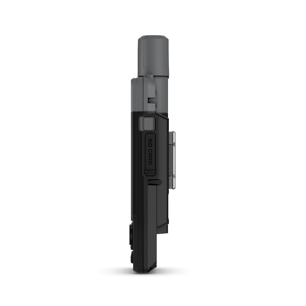
| Storage and Power Capacity | Yes (1 TB max microSD card) |
| Waypoints | Yes |
| Courses | unlimited |
| Activities | 200 |
| Activity profiles | Yes |
| GPX imports | Yes |
| Rinex logging | Yes |
Sensors |
|
| GPS | Yes |
|---|---|
| Galileo | Yes |
| QZSS | Yes |
| BeiDou | Yes |
| IRNSS | Yes |
| Barometric altimeter | Yes |
| Compass | Yes (tilt-compensated 3-axis) |
| High-sensitivity receiver | Yes |
| GPS compass (while moving) | Yes |
| Multi-band frequency | Yes |
Daily smart features |
|
| Connect IQ™ (downloadable watch faces, data fields and apps) | Yes |
|---|---|
| Smart notifications on handheld | Yes |
| Weather (removing Active) | Yes |
| Compatible with Garmin Connect™ Mobile | Yes |
| Garmin Share | Yes |
| Passcode | Yes |
| Auto correct keyboard | Yes |
Safety and tracking features |
|
| LiveTrack | Yes |
|---|---|
| Safety siren | Yes |
Tactical features |
|
| Compatible with AB Synapse | Yes |
|---|---|
| Ballistics solver | Yes (unlock required) |
| Dual grid coordinates | Yes |
| Night vision mode | Yes |
Outdoor recreation |
|
| Point-to-point navigation | Yes |
|---|---|
| Spoken turn-by-turn directions | Yes |
| TracBack® | Yes |
| Area calculation | Yes |
| Sun and moon information | Yes |
| Geocaching-friendly | Yes (Geocache Live) |
| Custom maps compatible | Yes (500 custom map tiles) |
| Picture viewer | Yes |
| inReach remote widget | Yes |
| LED beacon flashlight | Yes |
| Flashlight | Yes |
inReach® features |
|
| inReach remote compatible | Yes |
|---|---|
Outdoor applications |
|
| Compatible with Garmin Explore™ app | Yes |
|---|---|
| Garmin Explore website compatible | Yes |
| Dog tracking | Yes (when paired to compatible dog track system) |
Connections |
|
| Connections Wireless Connectivity | Yes (Wi-Fi®, BLUETOOTH®, ANT+®) |
|---|---|
Security Information |
|
| Security updates until at least (YYYY-MM-DD) | 2027-09-03 |
|---|---|
- GPSMAP H1
- Type A to Type C USB cable
- Loop Carabiner
- Garmin Documentation
1. What are each of the map options available with the Garmin GPSMAP H1?
This unit has Topoactive mapping on the internal memory and so this option comes as standard with any option you purchase. (Eg, if you purchase TOPO Great Britain Pro 1:50k, you will also get Topoactive mapping on the internal memory)
– Garmin GPSMAP H1 With Western Europe TOPO ACTIVE Mapping
Garmin TOPO ACTIVE mapping is a proper digital map, as you zoom in you get more information and as you zoom out you get less. BUT, it is not an Ordnance Survey map, therefore it does not differentiate between Bridleways and Footpaths, it just marks them as paths.
It covers 47 European countries, compiled using the community-generated OpenStreetMap (OSM) database. Coverage for: Albania, Andorra, Austria, Belarus, Belgium, Bosnia-Herzegovina, Bulgaria, Croatia, Cyprus, Czech Republic, Denmark, Estonia, Finland, France, Germany, Greece, Hungary, Iceland, Ireland, Italy, Kosovo, Latvia, Liechtenstein, Lithuania, Luxembourg, Macedonia, Malta, Moldova, Monaco, Montenegro, Netherlands, Norway, Poland, Portugal, Romania, Russia (Kaliningrad only), San Marino, Serbia, Slovakia, Slovenia, Spain, Sweden, Switzerland, Turkey, Ukraine, United Kingdom and the Vatican City.
– Garmin GPSMAP H1 with TOPO Great Britain Pro 1:50k (2024 v3 edition - most recent)
This is full GB at 1:50k mapping on a map card, which sits in the back of the GPS unit.
The TOPO PRO means that it is the latest map card from Garmin, giving you off road turn by turn routing within the National Parks, this means you can select a location many miles ahead and the GPS will route you via the footpaths to get to that location (like a car sat nav does).
Outside National Parks the GPS will navigate you in a straight line from waypoint to waypoint.
Don’t worry, here at the GPS Training we set the unit up for you so you can easily use these features and we even include a quick start guide so you can quickly get up and running with your GPS unit.
– Garmin GPSMAP H1 with TOPO Great Britain PRO 1:25k, 1:50k and 1:250k Ordnance Survey Map Card - NEW very latest 2024 v3 edition
This is full GB at 1:50k, 1:50k and 1:250k mapping on a map card, which sits in the back of the GPS unit. As you zoom in and out you pass through each of these three map sets.
The TOPO PRO means that it is the latest map card from Garmin, giving you off-road turn by turn routing within the National Parks, this means you can select a location many miles ahead and the GPS will route you via the footpaths to get to that location (like a car sat nav does).
Outside National Parks, the GPS will navigate you in a straight line from waypoint to waypoint.
What accessories do you have available for the GPSMap H Series?
We have the following accessories available for your GPSMap H series
Delivery
Any order placed online before 14.30 will be despatched the same working day.
GPS units/ Watches/ Maps
Any products over £100.00 are posted out using Royal Mail Special Delivery which is guaranteed next-day delivery (before 13.00).
Products - £50.00 - £100.00
Any products between £50.00 - £100.00 are sent out Royal Mail 1st class signed for, so should arrive next day.
Products - below £50.00
Products below £50.00 are posted our Royal Mail 2nd Class so should be with you within x 3 working days.
Overall rating: 4.8 / 5 from 12 reviews.
Great advice over the phone and super fast delivery. Also purchased all the extras so was able to get out and about as soon as it arrived. Fantastic service.

I bought the GPSMAP H1 online but picked it up from the Office in Northumberland as I was on holiday in the area a few days after I ordered it. I spoke with Jon, a really helpful and friendly guy. The staff at the office were good too. This device is really great. It came with some helpful documentation printed off by the shop. To get the best out of it use Garmin express and Garmin base map on either a Mac or a Windows computer. However, setting up your own courses on screen is fairly simple too. The preloaded maps are perfectly good, but if you want Ordnance survey maps there's a slot for an SD card. You can switch the touch screen off which is dead handy if you want to keep it in your pack or pocket whilst walking. The pictures I have attached show a course I did on screen. Also a bearing on the Humber Bridge. Apols for the quality but I needed three hands really. Overall I'm delighted. It's a complex thing so if you haven't had one before, take a couple of hours to mess about with it before going out and field test it on a walk you're familiar with.

Bought the H1 GPS with the additional 1.5 maps . Arrived all checked over with card installed and set up for me. Thanks guys. Delivery was fast , works great straight out the box and can’t fault the service. The H1 works great after familiarise myself around the menu options. Took it out with me, for a test on a local walk. After I’d loaded up a route into it from Garmin explore app. Works great, very impressed with the touch screen feature . Added a screen protector and silicon soft case, for some extra protection . 😊

I had a Montana before this which was good but this is much better in that it has buttons and it’s more compact. The service from Outdoor GPS is also worth a mention as they were outstanding.
Bit apprehensive with the cost but after getting one don't know how i on without one. Easy to use and learn just clicking buttons and screen soon learnt how to use it
Really impressed at the "pre-delivery inspection" check list that was included in the package.
Excellent item, easy to use and ready set up at store. Thanks to you all
Excellent item and excellent seller. Super quick despatch and delivery.
Fast delivery. GPSMAP H1 has a different user interface structure but it’s fast and improved for such a feature rich device.
Brilliant product like all Garmin kit. Quick delivery avouldnt have been better.
Perfect for me. My eyesight is not the best, I wear contacts when on a hike. The map display and information on the H1 is large enough for me to read without glasses. Delivered fast, great price, set up and information, very impressive. Happy.
Good price and fast delivery